Snowfall continues this Friday in several areas. Île-de-France is concerned, especially in the North and East.
It was Seine-et-Marne that received the most snowflakes, but it quickly melted in the city.
At Versailles, snow fell in large flakes for only ten minutes, at around 09:15. Le Vexin, in Val-d’Oise, also saw snow fall this morning, but it quickly melted. On the other hand, these two days we had to scrape the windshield in the morning because of the frost.
This radar image helps to understand the situation. Provided by Météociel after 8am, it shows snow in pink and rain in green. The outline of the Paris area is visible on the left.
Water in Paris
Therefore, the northern part of Seine-et-Marne is experiencing snowfall at the moment. Something similar also happened in the easternmost region of Seine-Saint-Denis. But in Paris, the most important thing is water. Before crossing the capital and its environs, the cloud released some flakes further north of the region, in the Val-d’Oise.
This video shows one of the snowfalls that occurred in Seine-et-Marne. There were a few of them by the end of the night.
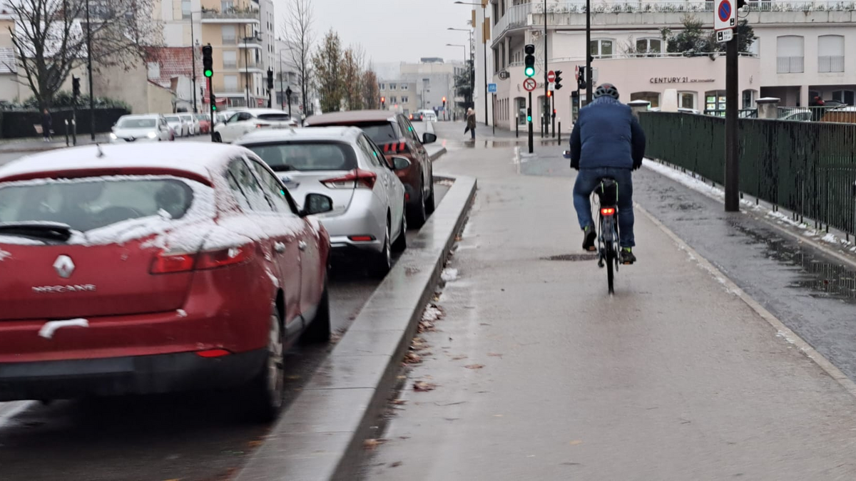
The current situation requires caution on the road. There is a risk of icing. The entire region was also placed on yellow alert (level 2 of 4) by Météo France. With the exception of Paris and nearby suburbs where temperatures are slightly positive, the entire Île-de-France experiences temperatures hovering around 0, or even slightly negative. In Seine-et-Marne the temperature is lowest, sometimes between -2°C and -3°C.
This situation will continue until the weekend. The period from Saturday night to Sunday morning is the riskiest in the capital area. Snowy precipitation is expected to be followed by freezing rain.