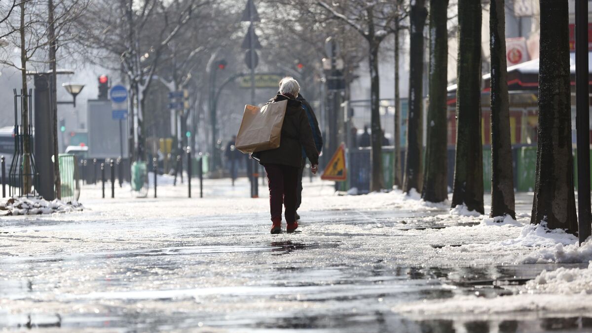
Flakes, snow, and possibly slipping. Here’s what awaits Île-de-France in the next few hours. In its bulletin on Saturday morning at 6am, Météo France placed all Ile-de-France departments on orange snow/ice alert overnight from Saturday to Sunday.
“On Saturday night and overnight from Saturday to Sunday, the presence of cold air will support snowfall,” the meteorological agency said. The orange alert is in effect from 8 p.m. until Sunday morning, 8 a.m.
“The rain disturbance is coming through Brittany” explains Météo France, “the disturbance will progress slowly towards the east and (…) will approach the broad central band of the country”.
Snow and freezing rain
“In contact with colder air, precipitation will occur in the form of snow or local freezing rain” underlines the same source.
“The ground level is expected to reach 5 to 7 cm in the western part of the Paris region and 2 to 5 cm in the eastern part. For Paris and the Petite Couronne, 1 to 2 cm of snow is expected on the ground,” according to the Météo France website, which states that the snow will “melt from midday thanks to the clear and cool weather.”
A “fairly short” episode, but…
Additionally, the Auvergne department’s alert status, which is currently yellow, could change, the agency warned, due to “considerable freezing rain.”
Although the country is affected by a cold air mass, Saturday’s snowfall was the first snow episode of the winter, described as “quite short” but capable of “affecting human activity”.