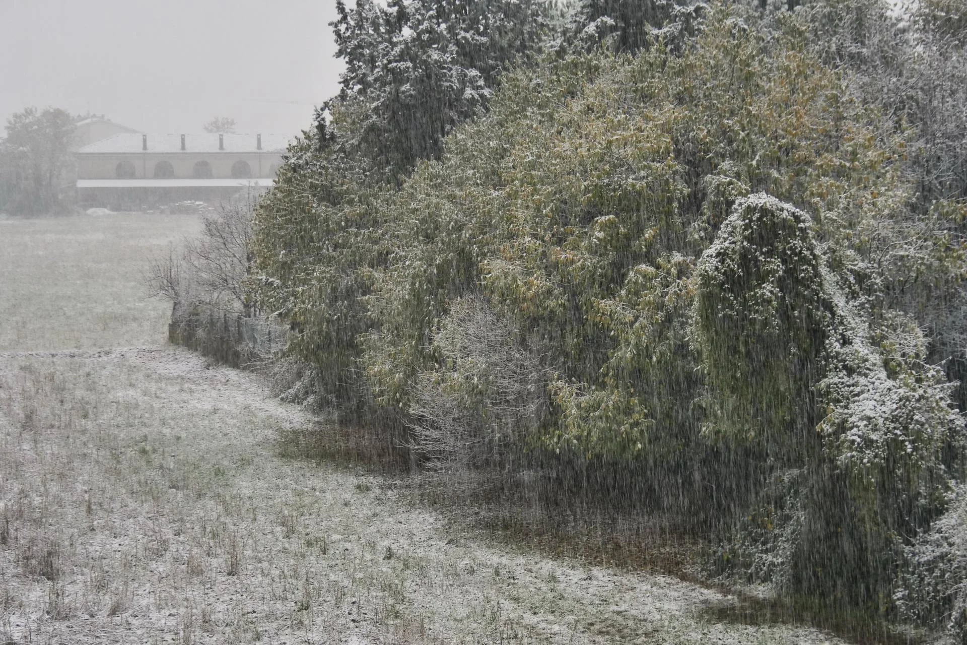
Bad weather, snow and frost in Italy at the end of November which marks the beginning of winter. Lorenzo Tedici, meteorologist at iLMeteo.it, confirmed further snowfall at low altitudes for today November 22, on a decidedly disturbed Saturday in the South-Centre.
Snow will fall to hill heights throughout the Apennines, at low altitudes until the morning in Romagna then above 300-500 meters between Marche, Umbria and Abruzzo: here we can also experience significant accumulations with little discomfort on the roads.
Starting Saturday afternoon snow will continue to fall in the Apennine belt at heights above 500-600 meters, slightly higher in the South where the height is estimated to be around 1000 meters.
The winter typhoon will end its whiteout on Saturday night, then we will see temporary improvement.
Sunday 23 November will actually be clearer: but be careful, clear and clear night skies, especially in the North-Central region, will favor extreme frosts. Of note is the risk of frost between Saturday night and Sunday morning, even on the plains.
Some major cities will wake up to almost polar values (for November): expected -5°C in Milan (!), in Bolzano -10°C (Trento -8°C), Perugia -3°C, L’Aquila -4°C, but also -2°C between Bologna and Florence. A very cold Sunday morning.
Sunday’s calmer ceasefire was only temporary, so from tonight worse conditions will set in with a North Atlantic disturbance coming from distant Greenland.
In the early hours of Monday morning, the risk of new snowfall at low altitudes in the Po Valley will again become high due to what, in meteorological jargon, is called a “cold buffer”: in practice, freezing temperatures at dawn Sunday (e.g. -5°C in Milan), associated with heavier cold air, will cause the formation of a bed of fresh air in the very low layers of the atmosphere.
The heaviest cold air will settle lower, on the plains, with the formation of a “cold pad”: as a result, Monday’s precipitation may fall in the form of snow to very low altitudes in the North.
In short, we will have White Apennines Saturday, “Po Valley frozen Sunday” and the first part of Monday with white flakes on the plains in the North-West and in Emilia.
In detail
Saturday 22. In the North: dry but cold, snow in Romagna at low elevations. In the Center: widespread bad weather, heavy snow on hills. In the South: scattered showers and showers.
Sunday 23. In the North: hot sun and cold, but worse in the afternoon/evening. In the Middle: pause with a clear mantra. In the South: ceasefire with fine weather; some rain in the Tyrrhenian Sea.
Monday 24. In the North: new snowfall in the lowlands or on the hills. In the Center: new disturbances with heavy rain and thunderstorms. In the South: scattered showers mainly in Campania.
Trend: Unstable and cold for next week too.